Contact: hepaspirit@gmail.com OR cendispirit@gmail.com * Online: 6 - Visited: 637106

Featured
Video

01-27-2022 - 03:01:07
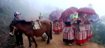
Participatory Action Research - How does SPERI doing the research of Traditional Up-Land Rotational Farming which has been practicing by Indigenous People in Mekong Region
- Part A: Participatory Research on Traditional Upland Farming System.
Step 1: Group villagers under different themes:
1. Herbal Wisdom in community health care and bio-cultural diversity preservation theme:
Invite healers to share their knowledge of herbal medicinal plants by mapping the village landscape on A0 paper showing location of plants, giving their names and describing their uses, time (season and time of day) of harvesting, what part of plant harvested (flower, bark, leaf, root), how it is processed, and what customs, beliefs, ritual and ceremonies are associated with the harvesting and using of medicinal herbal plants.
2. Customary Law in Upstream Water and Irrigation Governance theme:
Map location of major water sources, water management and irrigation devices for irrigating rice fields and how watering and irrigating is managed according to knowledge of seasonal rainfall, water currents, direction of wind, and the possibilities for mini hydropower systems.
3. Local community seeds saving theme:
Map location and altitude of seed sources (parent trees) and describe seasons and practices of seed collection and seed saving for spiritual practices and nursery.
4. Landscape characteristic re-position and transect mapping theme:
Map constructed terraces and describe methods of contouring (e.g. slope measurement) for positioning contours for distributing and conserving water flows. Map and describe ecological services and food sources offered by different landscape features (peak mountain forests, slope forest and up-land farming fields, streams, rivers, etc).
Download for more details!